 Geodatensuche Berlin
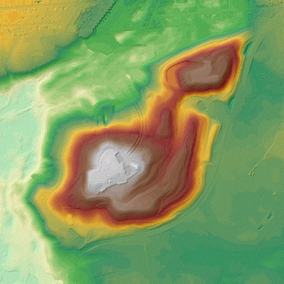
ATKIS® DGM - Digitales Geländemodell -
Das ATKIS DGM ist ein Teil des Amtlichen Topographisch-Kartographischen Informationssystem (ATKIS). Das DGM beschreibt höhenmäßig die Erdoberfläche ohne natürliche (z. B. Vegetation) und künstliche Objekte (z. B. Bauwerke). Das DGM liegt in Form eines gleichmäßigen Rasters mit einer Rasterweite von 1m im Blattschnitt 2km x 2km vor. In das Land Brandenburg reicht ein Buffer von ca. 250m.
Simple
Identification info
- Date (Creation)
- 2021-07-13
- Date (Revision)
- 2023-12-22
- Identifier
- https://registry.gdi-de.org/id/de.be.csw/253f38fd-6e0c-3f2c-aebd-c9acad9cafcb
- Presentation form
- Digital map
- Maintenance and update frequency
- Annually
- Theme
-
-
inspireidentifiziert
-
open data
-
opendata
-
AdVMIS
-
Geodaten
-
Berlin
-
DGM
-
ATKIS
-
Topographie
-
Topografie
-
topographisch
-
topografisch
-
Höhenmodell
-
Höhenmodelle
-
Höhenlinien
-
Geländemodell
-
Geländemodelle
-
Gelände
-
- Keywords
-
-
infoMapAccessService
-
- Access constraints
- Other restrictions
- Other constraints
- Es gelten keine Zugriffsbeschränkungen
- Use constraints
- Other restrictions
- Other constraints
-
Für die Nutzung der Daten ist die Datenlizenz Deutschland - Zero - Version 2.0 anzuwenden. Die Lizenz ist über https://www.govdata.de/dl-de/zero-2-0 abrufbar.
- Other constraints
-
{ "id": "dl-zero-de/2.0" , "name": "Datenlizenz Deutschland - Zero - Version 2.0", "url": " https://www.govdata.de/dl-de/zero-2-0" }
- Service Type
- view
- Service Version
-
OGC:WMS 1.0.0
- Service Version
-
OGC:WMS 1.1.0
- Service Version
-
OGC:WMS 1.1.1
- Service Version
-
OGC:WMS 1.3.0
))
- Extent type code
- Yes
- Geographic identifier
- 110000000000
- Coupling Type
- Tight
Contains Operations
- Operation Name
-
GetCapabilities
- Distributed Computing Platforms
- Web services
- Connect Point
- https://gdi.berlin.de/services/wms/dgm1
- Reference system identifier
- http://www.opengis.net/def/crs/EPSG/0/25833
- Distribution format
-
-
Text/HTML
(
4.01
)
-
Text/HTML
(
4.01
)
- OnLine resource
- GetCapabilities Aufruf des WMS mit maschinenlesbarer Antwort
- OnLine resource
- Inhaltliche Beschreibung
- Hierarchy level
- Service
- Other
-
Dienst
Conformance result
- Date (Publication)
- 2009-10-20
- Explanation
-
see referenced specification
- Pass
- Yes
- File identifier
- b0485f06-a39e-3cc2-b5e0-be7fcd425dab XML
- Metadata language
- Deutsch
- Character set
- UTF8
- Hierarchy level
- Service
- Hierarchy level name
-
ATKIS® DGM - Digitales Geländemodell - Dienst
- Date stamp
- 2025-08-08T11:23:27
- Metadata standard name
-
ISO 19115/19119 - BE
- Metadata standard version
-
1.0.0
Overviews

Spatial extent
Provided by
