 Geodatensuche Berlin
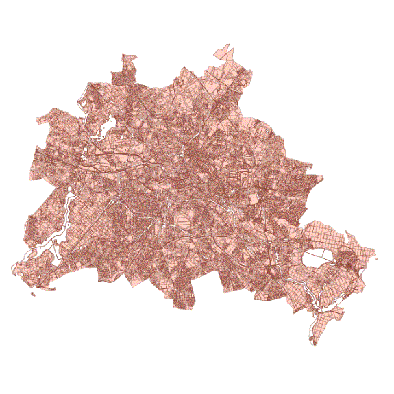
Informationssystem Stadt und Umwelt (ISU5) - Raumbezug 2005 (Umweltatlas)
Räumliches Bezugssystem im Maßstab 1 : 5.000 für Daten des Umweltatlas aus statistischen Blöcken des regionalen Bezugssystems (RBS) mit Teilblöcken des Informationssystems Stadt und Umwelt (ISU), Bearbeitungsstand 31.12.2005.
Simple
- Date (Creation)
- 2007-12-31
- Date (Publication)
- 2007-12-31
- Identifier
- https://registry.gdi-de.org/id/de.be.csw/7d72d23d-aba7-37c1-82e4-51568dcd748b
- Maintenance and update frequency
- Not planned
- Theme
-
-
open data
-
opendata
-
Karten
-
Sachdaten
-
Geodaten
-
Berlin
-
Regionales Bezugssystem
-
RBS
-
Statistische Gebiete
-
Topografie
-
Topographie
-
Übersichtskarte
-
Hintergrundkarte
-
Grundkarte
-
Umweltatlas
-
Blöcke
-
Blockkarte
-
Teilblöcke
-
Teilblockkarte
-
ISU
-
Berliner Bezirke
-
Bezirksgrenzen
-
Blockkarte
-
- Access constraints
- Other restrictions
- Other constraints
- Es gelten keine Zugriffsbeschränkungen
- Use constraints
- Other restrictions
- Other constraints
-
Für die Nutzung der Daten ist die Datenlizenz Deutschland - Zero - Version 2.0 anzuwenden. Die Lizenz ist über https://www.govdata.de/dl-de/zero-2-0 abrufbar.
- Other constraints
-
{"id":"dl-zero-de/2.0","name":"Datenlizenz Deutschland - Zero - Version 2.0","url":" https://www.govdata.de/dl-de/zero-2-0"}
- Spatial representation type
- Vector
- Denominator
- 5000
- Metadata language
- Deutsch
- Character set
- UTF8
- Topic category
-
- Boundaries
))
- Extent type code
- Yes
- Geographic identifier
- 110000000000
- Reference system identifier
- http://www.opengis.net/def/crs/EPSG/0/3068
- Distribution format
-
-
Text/HTML
(
4.01
)
- Specification
-
Keine Angabe
-
Text/HTML
(
4.01
)
- OnLine resource
- Darstellungsdienst - Informationssystem Stadt und Umwelt (ISU5) - Raumbezug 2005 (Umweltatlas) (WMS) ( Darstellungsdienst - Informationssystem Stadt und Umwelt (ISU5) - Raumbezug 2005 (Umweltatlas) (WMS) )
- OnLine resource
- Downloaddienst - Informationssystem Stadt und Umwelt (ISU5) - Raumbezug 2005 (Umweltatlas) (WFS) ( Downloaddienst - Informationssystem Stadt und Umwelt (ISU5) - Raumbezug 2005 (Umweltatlas) (WFS) )
- OnLine resource
- Inhaltliche Beschreibung
- OnLine resource
- Technische Beschreibung
- OnLine resource
- Umweltatlas Berlin
- Hierarchy level
- Dataset
- Statement
-
Statistische Blöcke des Amtes für Statistik Berlin Brandenburg, Nutzungshomogene Teilblöcke abgegrenzt durch das Informantionssystem Stadt und Umwelt (ISU) auf Grundlage von Digitalen Luftbildern (Orthophotos) des Luftbildarchivs und Begehungen
- Description
-
Statistische Blöcke des Amtes für Statistik Berlin Brandenburg
- Description
-
Nutzungshomogene Teilblöcke abgegrenzt durch das Informantionssystem Stadt und Umwelt (ISU) auf Grundlage von Digitalen Luftbildern (Orthophotos) des Luftbildarchivs und Begehungen
- File identifier
- 9c7204c1-41fb-3be4-9afe-8ae67b0d405a XML
- Metadata language
- Deutsch
- Character set
- UTF8
- Hierarchy level
- Dataset
- Date stamp
- 2026-01-05T13:44:54.128479540Z
- Metadata standard name
-
ISO 19115/19119 - BE
- Metadata standard version
-
1.0.0
Overviews
Spatial extent
Provided by
