 Geodatensuche Berlin
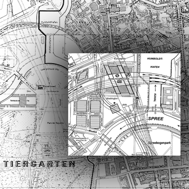
Karte von Berlin 1:5000 (K5 SW-Ausgabe) - Historie
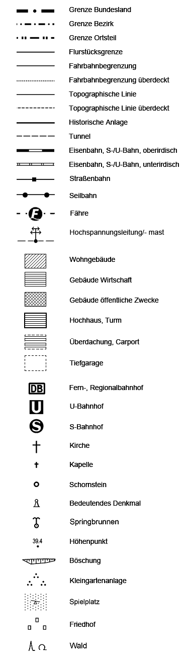
Historisches Landeskartenwerk (2022 - 2025) mit administrativen Grenzen, Flurstücksgrenzen, Straßennamen, Grundstücksnummern,
Flächen der tatsächlichen Nutzung. Hergestellt von den Vermessungsstellen der Bezirke auf Basis des
Amtlichen LiegenschaftsKatasterInformationsSystems (ALKIS)
Simple
Identification info
- Date (Publication)
- 2021-01-01
- Date (Revision)
- 2026-03-10
- Identifier
- https://registry.gdi-de.org/id/de.be.csw/835c53fe-8173-465f-88d2-86fdab19a8b0
- Presentation form
- Digital map
- Maintenance and update frequency
- As needed
- Theme
-
-
open data
-
opendata
-
Sachdaten
-
Karten
-
Geodaten
-
Berlin
-
Rasterkarte
-
Kartenblätter
-
1:5.000
-
ALK
-
ALKIS
-
K5
-
Geobasiskarte
-
Topografie
-
Topographie
-
Übersichtskarte
-
Hintergrundkarte
-
Grundkarte
-
topographisch
-
topografisch
-
- Keywords
-
-
infoMapAccessService
-
- Access constraints
- Other restrictions
- Other constraints
- Es gelten keine Zugriffsbeschränkungen
- Use constraints
- Other restrictions
- Other constraints
-
Für die Nutzung der Daten ist die Datenlizenz Deutschland - Zero - Version 2.0 anzuwenden. Die Lizenz ist über https://www.govdata.de/dl-de/zero-2-0 abrufbar.
- Other constraints
-
{"id":"dl-zero-de/2.0","name":"Datenlizenz Deutschland - Zero - Version 2.0","url":" https://www.govdata.de/dl-de/zero-2-0"}
- Service Type
- view
- Service Version
-
OGC:WMS 1.0.0
- Service Version
-
OGC:WMS 1.1.0
- Service Version
-
OGC:WMS 1.1.1
- Service Version
-
OGC:WMS 1.3.0
))
- Extent type code
- Yes
- Geographic identifier
- 110000000000
- Coupling Type
- Tight
Contains Operations
- Operation Name
-
GetCapabilities
- Distributed Computing Platforms
- Web services
- Connect Point
- https://gdi.berlin.de/services/wms/k5_historie
- Operates On
- Reference system identifier
- http://www.opengis.net/def/crs/EPSG/0/25833
- Distribution format
-
-
Text/HTML
(
4.01
)
- Specification
-
Keine Angabe
-
Text/HTML
(
4.01
)
- OnLine resource
- Darstellungsdienst - Karte von Berlin 1:5000 (K5 SW-Ausgabe) - Historie (WMS) ( Darstellungsdienst - Karte von Berlin 1:5000 (K5 SW-Ausgabe) - Historie (WMS) )
- OnLine resource
- Darstellung der Karte im Geoportal Berlin
- Hierarchy level
- Service
- Other
-
Dienst
- File identifier
- 9a3e5a7a-5f36-4e46-83a3-db952142f42f XML
- Metadata language
- Deutsch
- Character set
- UTF8
- Hierarchy level
- Service
- Hierarchy level name
-
Karte von Berlin 1:5000 (K5 SW-Ausgabe) - Historie Dienst
- Date stamp
- 2026-08-12T12:00:31.511907873Z
- Metadata standard name
-
ISO 19115/19119 - BE
- Metadata standard version
-
1.0.0
Overviews
Spatial extent
Provided by
