 Geodatensuche Berlin
Digitale farbige TrueOrthophotos Sommer 2025 (TrueDOP10RGB)
Bei den Daten handelt es sich um farbige digitale True-Orthophotomosaike (TrueDOP). Dabei werden alle Objekte lagetreu abgebildet, d. h. es gibt keine Verkippungen von Gebäuden oder Bäumen und dadurch keine Abschattungseffekte von z. B. Bürgersteigen. Daten liegen für das gesamte Berliner Stadtgebiet im Blattschnitt 1 km x 1 km vor und haben eine Bodenauflösung von 0,10 m bei einer Lagegenauigkeit von +/- 0,2 Metern.
Simple
- Date (Creation)
- 2025-08-11
- Date (Publication)
- 2026-01-30
- Identifier
- https://registry.gdi-de.org/id/de.be.csw/5f98cc8d-5fa4-4e46-adbe-3f730f51ccd3
- Maintenance and update frequency
- As needed
- Theme
-
-
Geodaten
-
Berlin
-
Luftbilder
-
Orthophotos
-
DOP
-
Topographie
-
topographisch
-
TrueOrthophotos
-
TrueDOP
-
2025_DOP_rgb_sommer
-
Imagemosaik
-
WMS
-
- Access constraints
- Other restrictions
- Other constraints
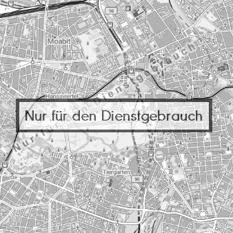
- Der Zugriff auf die Daten ist beschränkt.
- Use constraints
- Other restrictions
- Other constraints
-
Daten für den Dienstgebrauch zur Wahrnehmung von gesetzlichen Aufgaben
- Other constraints
-
null
- Spatial representation type
- Grid
- Distance
- 1 metres
- Metadata language
- Deutsch
- Character set
- UTF8
- Topic category
-
- Imagery base maps earth cover
))
- Extent type code
- Yes
- Geographic identifier
- 110000000000
- Reference system identifier
- http://www.opengis.net/def/crs/EPSG/0/25833
- Distribution format
-
-
Text/HTML
(
4.01
)
- Specification
-
Keine Angabe
-
Text/HTML
(
4.01
)
- Hierarchy level
- Dataset
- Statement
-
Bildflug 11. und 12. August 2025
- Description
-
Bildflug 11. und 12. August 2025
- Date
- 2026-01-30
- File identifier
- 4c5e04aa-ebd5-4720-a364-082112c30650 XML
- Metadata language
- Deutsch
- Character set
- UTF8
- Hierarchy level
- Dataset
- Date stamp
- 2026-05-07T08:53:12
- Metadata standard name
-
ISO 19115/19119 - BE
- Metadata standard version
-
1.0.0
Overviews
Spatial extent
Provided by
