 Geodatensuche
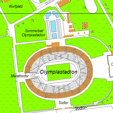
Bezirkskarte Charlottenburg-Wilmersdorf 1:10 000
Die Bezirkskarte des Bezirks Charlottenburg-Wilmersdorf. Der Bezirk als topografische Vektorkarte im Maßstab 1:10 000.
Simple
- Date (Creation)
- 2016-05-20
- Identifier
- https://registry.gdi-de.org/id/de.be.csw/e6661f01-6878-3d16-b48f-41ec18f84116
- Presentation form
- Digital map
- Theme
-
-
Karten
-
Berlin
-
Geodaten
-
Bezirkskarte
-
Charlottenburg-Wilmersdorf
-
1:10000
-
Vektordaten
-
topografische Karte
-
- Access constraints
- Other restrictions
- Other constraints
- Es gelten keine Zugriffsbeschränkungen
- Use constraints
- Other restrictions
- Other constraints
-
Für die Nutzung der Daten ist die Datenlizenz Deutschland - Zero - Version 2.0 anzuwenden. Die Lizenz ist über https://www.govdata.de/dl-de/zero-2-0 abrufbar.
- Other constraints
-
{ "id": "dl-zero-de/2.0" , "name": "Datenlizenz Deutschland - Zero - Version 2.0", "url": " https://www.govdata.de/dl-de/zero-2-0" }
- Spatial representation type
- Vector
- Denominator
- 10000
- Metadata language
- Deutsch
- Character set
- UTF8
- Topic category
-
- Imagery base maps earth cover
))
- Extent type code
- Yes
- Geographic identifier
- 110000000000
- Reference system identifier
- http://www.opengis.net/def/crs/EPSG/0/25833
- Distribution format
-
-
Text/HTML
(
4.01
)
-
Text/HTML
(
4.01
)
- Hierarchy level
- Dataset
- Statement
-
Karte von Berlin 1 : 1 000
- File identifier
- 20cf7146-2426-3226-96ad-60d1a4ce5743 XML
- Metadata language
- Deutsch
- Character set
- UTF8
- Hierarchy level
- Dataset
- Date stamp
- 2025-03-06T12:33:27
- Metadata standard name
-
ISO 19115/19119 ? BE
- Metadata standard version
-
1.0.0
Overviews
Spatial extent
Provided by
