 Geodatensuche Berlin
Digitale farbige Orthophotos 2016 (DOP10RGB)
Digitale Orthophotos für das gesamte Berliner Stadtgebiet mit einer Bodenauflösung von 0,10 m im Blattschnitt 1 km x 1 km.
Simple
- Date (Creation)
- 2016-04-02
- Date (Publication)
- 2016-08-02
- Identifier
- https://registry.gdi-de.org/id/de.be.csw/6dfa9415-7a3b-3ceb-9112-c02c645c081f
pointOfContact
Senatsverwaltung für Stadtentwicklung, Bauen und Wohnen Berlin
-
Hr. Weller
+4930901395321
- Maintenance and update frequency
- As needed
- Theme
-
-
Geodaten
-
Berlin
-
Luftbilder
-
Orthophotos
-
DOP
-
Topographie
-
Topografie
-
topographisch
-
topografisch
-
TrueOrthophotos
-
Luftbilder
-
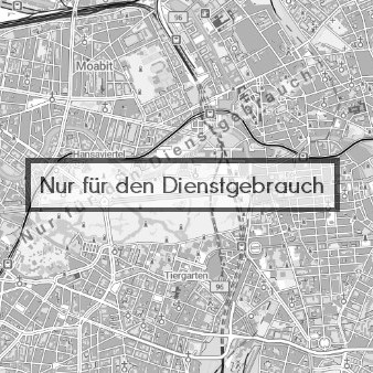
- Access constraints
- Restricted
- Other constraints
-
Der Zugriff auf die Daten ist beschränkt.
- Use constraints
- Other restrictions
- Other constraints
-
Daten für den Dienstgebrauch zur Wahrnehmung von gesetzlichen Aufgaben
- Spatial representation type
- Grid
- Distance
- 0.1 metres
- Metadata language
- Deutsch
- Character set
- UTF8
- Topic category
-
- Imagery base maps earth cover
N
S
E
W
))
- Extent type code
- Yes
- Geographic identifier
- 110000000000
- Reference system identifier
- http://www.opengis.net/def/crs/EPSG/0/25833
- Distribution format
-
-
Text/HTML
(
4.01
)
- Specification
-
Keine Angabe
-
Text/HTML
(
4.01
)
- Hierarchy level
- Dataset
- Statement
-
Daten aus der Berliner Verwaltung
- Description
-
Daten aus der Berliner Verwaltung
- File identifier
- 0fd483dd-1407-483b-8d71-4c3300e2eecd XML
- Metadata language
- Deutsch
- Character set
- UTF8
- Hierarchy level
- Dataset
- Date stamp
- 2025-11-19T00:00:00Z
- Metadata standard name
-
ISO 19115/19119 - BE
- Metadata standard version
-
1.0.0
Overviews
Vorschaubild
Spatial extent
N
S
E
W
Provided by

Associated resources
Not available