 Geodatensuche Berlin
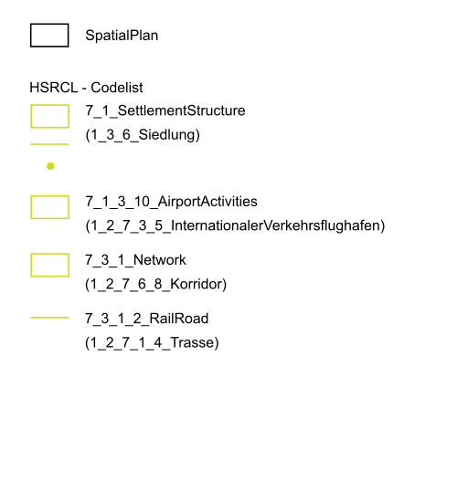
Geplante Bodennutzung im INSPIRE-Datenmodell (Landesentwicklungsplan Flughafenstandortentwicklung)
Dargestellt ist die räumliche Ausdehnung des Landesentwicklungsplan Flughafenstandortentwicklung (LEP FS) vom 30. Mai 2006 sowie die ergänzenden Vorschriften zur geplanten Bodennutzung mittels Attributen des INSPIRE-Datenmodells "Bodennutzung".
Simple
Identification info
- Date (Publication)
- 2024-04-19
- Identifier
- https://registry.gdi-de.org/id/de.be.csw/2a6d9276-bea2-32bc-ba7c-d7770e1d63af
- Presentation form
- Digital map
- Maintenance and update frequency
- As needed
- Theme
-
-
inspireidentifiziert
-
open data
-
opendata
-
Sachdaten
-
Karten
-
Geodaten
-
Berlin
-
PLU
-
Geplante Bodennutzung
-
Spatial Plan
-
Supplementary Regulation
-
Landesentwicklungsplan
-
Berlin-Brandenburg
-
PlannedLandUse
-
supraRegional
-
LEPFS
-
bboxbebb
-
-
GEMET - INSPIRE themes, version 1.0
-
-
Bodennutzung
-
- Keywords
-
-
infoMapAccessService
-
- Access constraints
- Other restrictions
- Other constraints
- Es gelten keine Zugriffsbeschränkungen
- Use constraints
- Other restrictions
- Other constraints
-
Für die Nutzung der Daten ist die Datenlizenz Deutschland - Zero - Version 2.0 anzuwenden. Die Lizenz ist über https://www.govdata.de/dl-de/zero-2-0 abrufbar.
- Other constraints
-
{"id":"dl-zero-de/2.0","name":"Datenlizenz Deutschland - Zero - Version 2.0","url":" https://www.govdata.de/dl-de/zero-2-0"}
- Service Type
- view
- Service Version
-
OGC:WMS 1.0.0
- Service Version
-
OGC:WMS 1.1.0
- Service Version
-
OGC:WMS 1.1.1
- Service Version
-
OGC:WMS 1.3.0
))
- Extent type code
- Yes
- Geographic identifier
- 110000000000
- Begin date
- 2006-05-30T00:00:00Z
- Coupling Type
- Tight
Contains Operations
- Operation Name
-
GetCapabilities
- Distributed Computing Platforms
- Web services
- Connect Point
- https://gdi.berlin.de/services/wms/plu_lep_fs
- Operates On
- Reference system identifier
- http://www.opengis.net/def/crs/EPSG/0/25833
- Distribution format
-
-
Text/HTML
(
4.01
)
- Specification
-
Keine Angabe
-
Text/HTML
(
4.01
)
- OnLine resource
- Darstellungsdienst - Geplante Bodennutzung im INSPIRE-Datenmodell (Landesentwicklungsplan Flughafenstandortentwicklung) (WMS) ( Darstellungsdienst - Geplante Bodennutzung im INSPIRE-Datenmodell (Landesentwicklungsplan Flughafenstandortentwicklung) (WMS) )
- OnLine resource
- Darstellung der Karte im Geoportal Berlin
- Hierarchy level
- Service
- Other
-
Dienst
Conformance result
- Date (Publication)
- 2009-10-20
- Explanation
-
see referenced specification
- Pass
- Yes
- File identifier
- 445026a1-7649-3b22-8f2a-9f3e7ba9e156 XML
- Metadata language
- Deutsch
- Character set
- UTF8
- Hierarchy level
- Service
- Hierarchy level name
-
Geplante Bodennutzung im INSPIRE-Datenmodell (Landesentwicklungsplan Flughafenstandortentwicklung) Dienst
- Date stamp
- 2026-03-19T14:54:30.046649684Z
- Metadata standard name
-
ISO 19115/19119 - BE
- Metadata standard version
-
1.0.0
Overviews

Spatial extent
Provided by
